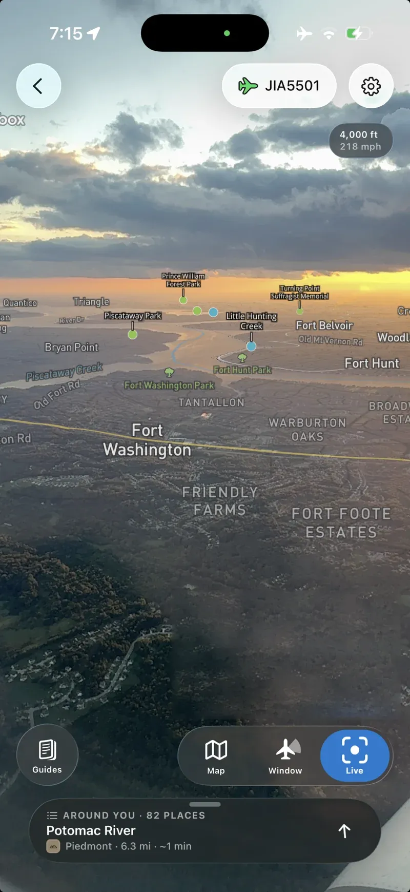
Save your flight before takeoff and, at 35,000 feet in airplane mode, hold the phone to the window: the live view labels the rivers, parks and landmarks under the wing, and after dark it blends the map into the lights so you can tell an airport from a neighbourhood. When cloud hides the ground, it hands you an illustrated guide to the cloud instead. Began at the University of Minnesota with National Science Foundation support; rebuilt from the ground up this month, free on iPhone and Android.
→ Read the full review: flyover-country
Featured in: Put a name to it