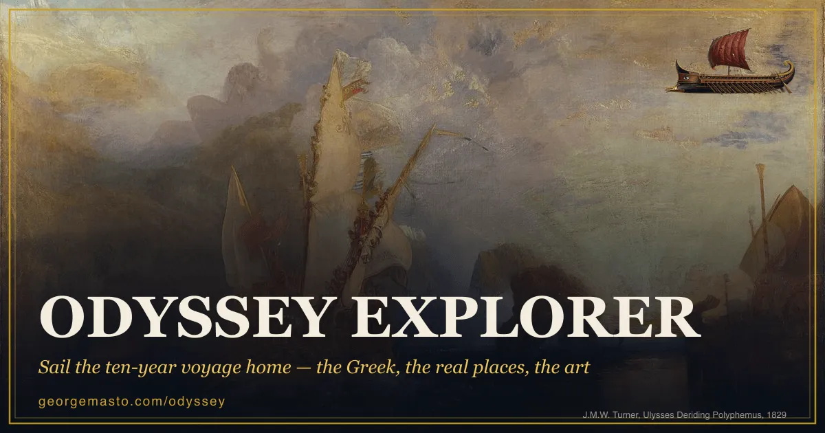
An atlas of the Odyssey that refuses two temptations at once: it will not hide the Greek, and it will not pretend to know where any of this happened.
The shape is simple. Seventeen landfalls from Troy to Ithaca, each with the passage of Greek set beside the map, A.T. Murray’s 1919 translation under it, and a period painting — fourteen of them, all public domain, credited to the collection they hang in. Arrow keys sail. The N key swaps the modern coastline for the ancient one.
The tap is the thing. Touch any Greek word and it opens into its root and its descendants: πολύτροπος gives you τρέπω, “to turn”, then forward into trope and the tropics, then the note that whether Odysseus is turned by fortune or does the turning himself was already an argument in Plato’s Hippias Minor. The citations are there — LSJ, the line number, the edition. Nothing asks you to already read Greek, and nothing waters it down either. The site states the conviction plainly: the Greek is the attraction, not the barrier.
What lifts it above a good teaching aid is that it grades its own certainty. Every landfall carries one of four labels — secure (a real, identified place), traditional (the classical identification), disputed (serious rival candidates), or mythic (no location claimed). Troy is secure and still gets a caveat: nine cities lie in the mound at Hisarlik, Schliemann bet on the wrong one by a thousand years, and the current favourite, Troy VIIa, is called “a hedge, not a fact”. The about page is blunter still — nobody knows where most of these places really are, and the ancient geographers disagreed too. An atlas that says so is doing something most maps of myth will not.
Then there is the counter in the corner. The Iliad gives Odysseus twelve ships, so the atlas starts him with roughly 600 companions and tracks the number down the coastline as the poem spends them. None of them reaches Ithaca; the proem admits it in the first ten lines. Watching the figure fall while you press an arrow key does something the summary never manages — it makes the voyage a subtraction.
It is free, static, and runs on OpenStreetMap and Sentinel-2 imagery with the Greek text from Perseus. No backend, no accounts, no tracking. The one honest limitation is inherited rather than technical: seventeen stops on a map imply a route, and the route is the part nobody can vouch for. This is the rare piece of work that keeps saying so while drawing it anyway.