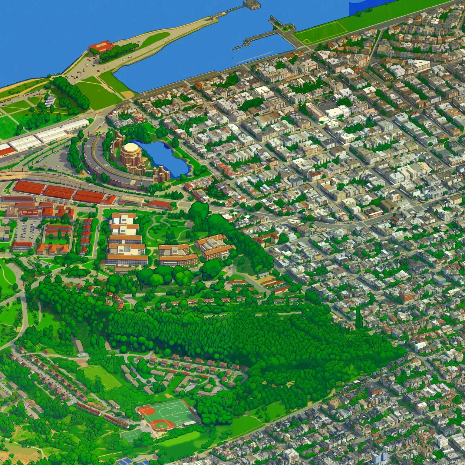
All ~121 km² of San Francisco, repainted tile by tile into isometric pixel art — roughly a 22-gigapixel image you can pan and zoom. The write-up behind it is as good as the map, because it is mostly a list of things that went wrong.
The credits at the bottom of the page are easy to misread. OpenStreetMap, CARTO and DataSF are all in there, but none of them is the city: the buildings come from Google’s photorealistic 3D mesh, scraped and rendered through one orthographic camera for the whole of San Francisco — azimuth 22.5°, elevation 30°, chosen by eye to land on the SimCity angle — into 440 blocks of 1024² frames. A LoRA fine-tune of Qwen Image Edit then repaints every one. The published set is 2,630 quadrants: 1,606 generated, and 1,024 that are water.
The Golden Gate defeated it. The bridge was so far outside the model’s distribution that it kept hallucinating extra structure, and the author eventually gave up, generated half the span with a different model entirely, unconnected to the rest of the city, and stitched it back in. Open water failed in the other direction — shadows and flat green fields kept resolving into lakes — so the fix was to stop generating water at all and stamp a single water tile through a hand-drawn mask. Every flat blue quadrant on the map is that same tile.
The viewer is hand-built for a specific reason: the projection is a fixed local dimetric frame, not Mercator, so an off-the-shelf map library would resample the art through a projection it was never drawn in. Underneath the pixels, CARTO’s dark basemap is warped into that frame at 45% alpha, which is what lets you zoom out from pixel art to a recognisable Bay Area. Everything above is data rather than code — signposts, neighbourhood polygons and the guided tours are all GeoJSON, and the entire app state lives in the URL hash, so any view or tour stop is a link you can send someone.
Two things stated plainly, both by the author rather than about them: seams survive in places, with two of them pointed at directly, and scraping Google’s 3D Tiles to build the base renders is against Google’s terms of service. Free, static files, no account.