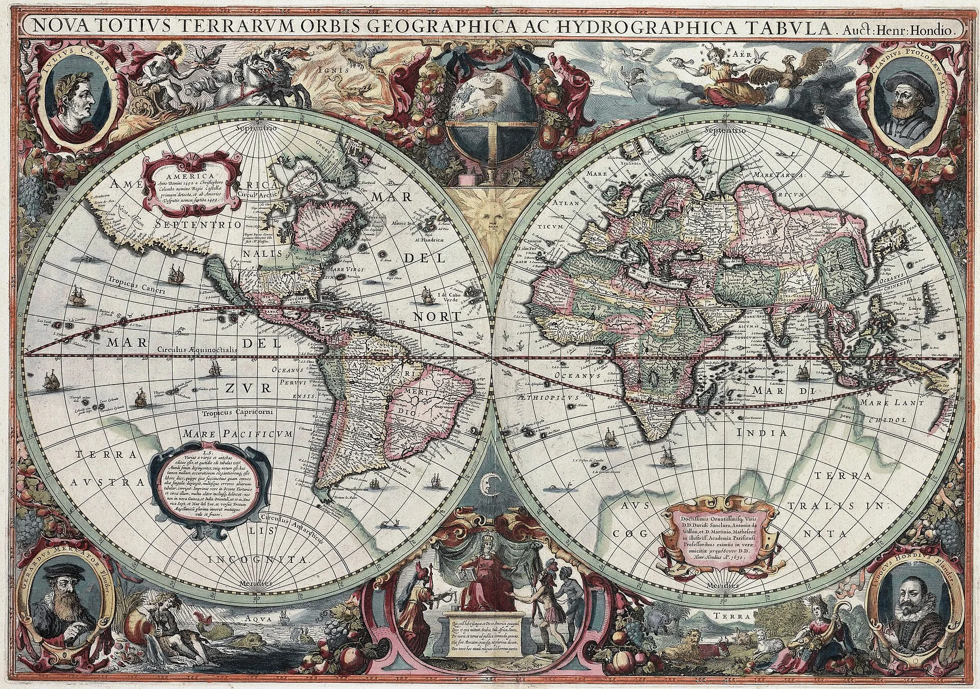
A 1630 Hendrik Hondius world map — the kind of richly engraved early-modern cartography the collection is full of. (Public domain.)
The David Rumsey Map Collection puts more than 149,000 historical maps online, free to anyone, with a search that reaches past titles and dates into the content of the maps themselves — and, when one catches your eye, tools to lay it over the modern world or order it as a print.
For most of its life a great map collection was something you traveled to and asked permission to see. Rumsey, a collector who spent decades assembling rare cartography, did the opposite: he digitized it at high resolution and gave it away. The online collection now holds over 149,000 items — part of holdings exceeding 200,000 maps — and the site is free and open to the public, no account required to browse.
The range is the point. It runs from roughly 1550 to the present: sixteenth-century world maps and sea charts, atlases and globes, wall maps, pocket maps, school geographies, and books of exploration, with particular depth in maps of North and South America alongside the rest of the world. What makes it more than a picture archive is how you get in. Beyond conventional cataloging, the site offers an AI Search Assist that goes past the metadata, so a search can surface maps by what they actually depict rather than only by how a librarian once titled them — the difference between finding a map called “North America” and finding the maps that happen to show a road, a boundary, or a coastline you care about.
The collection also does things a shelf of paper never could. Many maps are georeferenced, so you can drape a centuries-old survey over a present-day basemap and watch a coastline or a city migrate; others can be viewed in a browser or in Google Earth. If a map earns a place on your wall, prints are available to order through the site’s LUNA viewer, and images can be downloaded for personal and non-commercial use.
Two honest notes. The images are licensed CC BY-NC-SA — free to browse, download, and reuse non-commercially with attribution, but not a public-domain free-for-all; commercial reproduction needs permission. And the viewer, powerful as it is, is a research tool first: the interface is dense and occasionally dated, and the collection reflects one collector’s eye, so its coverage is deepest where Rumsey’s interests ran. The physical maps, fittingly, now live at the David Rumsey Map Center at Stanford — but the reason to visit is that the best of them are already on your screen.