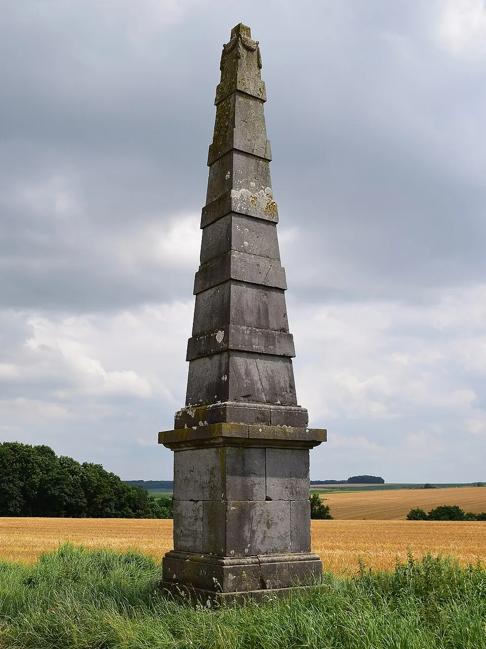
Leave Verlée on the road to Petit Avin and a stone obelisk appears on the ridge, alone, unexplained. There is no inscription — only carved garlands at the top date it to the Empire period. The popular theory — a survey marker for Tranchot’s triangulation of the Rhine — is wrong, because his maps never reached here. The answer is on the old maps: a lost château stood 750 metres to the north-north-east, and one face of the obelisk lines up exactly with the axis between them.
Featured in: You would have walked right past