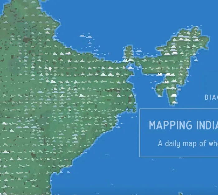
Every morning the India Meteorological Department publishes a ten-day meteogram for each of roughly 1,200 weather stations, stacked into panels for temperature, humidity, pressure, wind, cloud and rain. Aman Bhargava reads the cloud panel out of all of them and draws the result as tiny sprites drifting over an 8-bit green subcontinent. Filter by cirrus, alto, cumulus or rain; scrub the day in three-hour steps.
→ Read the full review: mapping-indias-clouds
Featured in: Somebody went through all of it