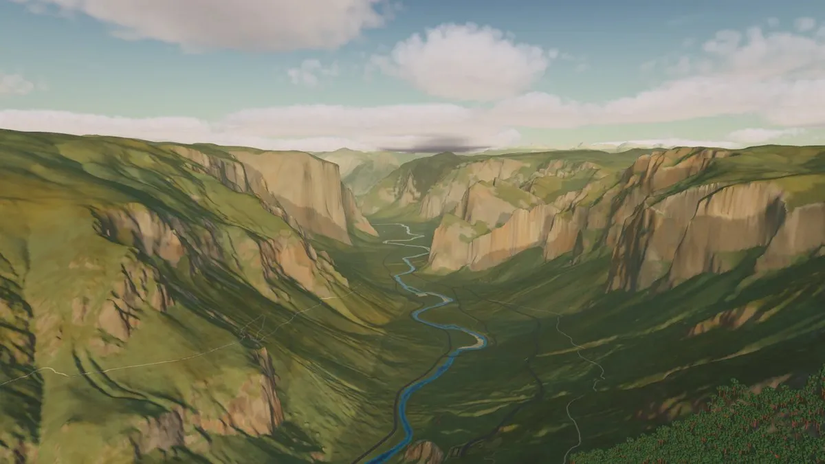
Every building, road and coastline comes from OpenStreetMap and elevation data, rendered low-poly from orbit down to street level, with 231 landmarks — Hagia Sophia, Mont-Saint-Michel, the Shwedagon Pagoda — modeled individually rather than left as generic map blocks. Pick a date and time and the sun, moon and stars track it for real, using ESA’s Hipparcos star catalogue; weather is simulated from climate data, not a live forecast. Free, about 640MB, and a native Mac download rather than a browser page — Apple silicon only, macOS 13 or later.
Featured in: The whole system, made playable