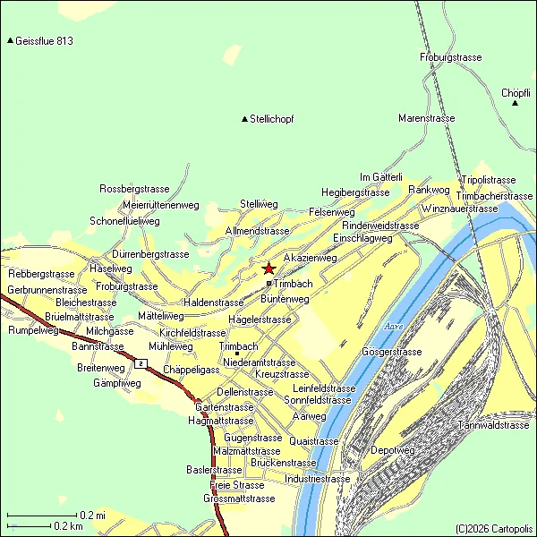
Cartopolis re-renders live OpenStreetMap data through a pipeline built entirely from late-1990s constraints: a 216-color web-safe palette, zero antialiasing, aggressive Douglas–Peucker line simplification, and fixed discrete zoom levels, so roads staircase and curves turn jagged exactly like a dial-up-era MapQuest tile. Nothing is faked afterward with a filter — the grainy look falls directly out of the rendering rules, currently covering the whole of Switzerland as exportable GIF89a files.
Featured in: Nobody told them it was obsolete